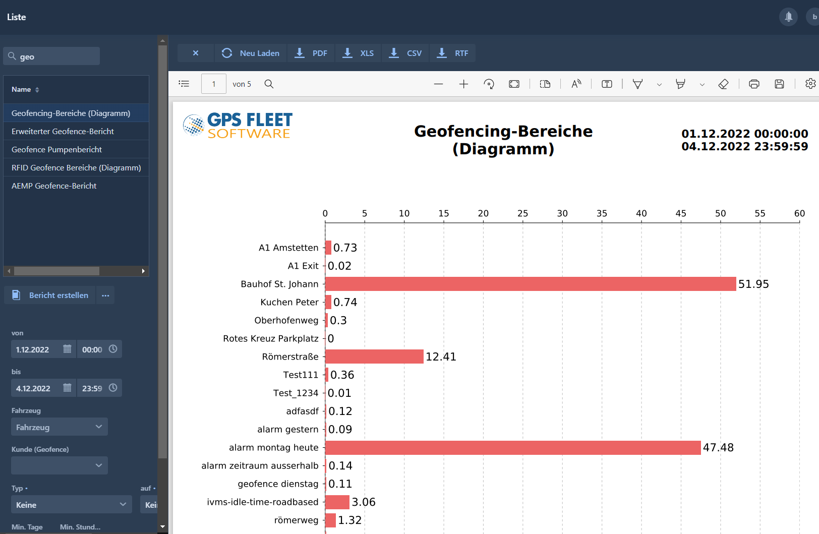
Set geofence hotspots for customers, construction sites, unloading sites
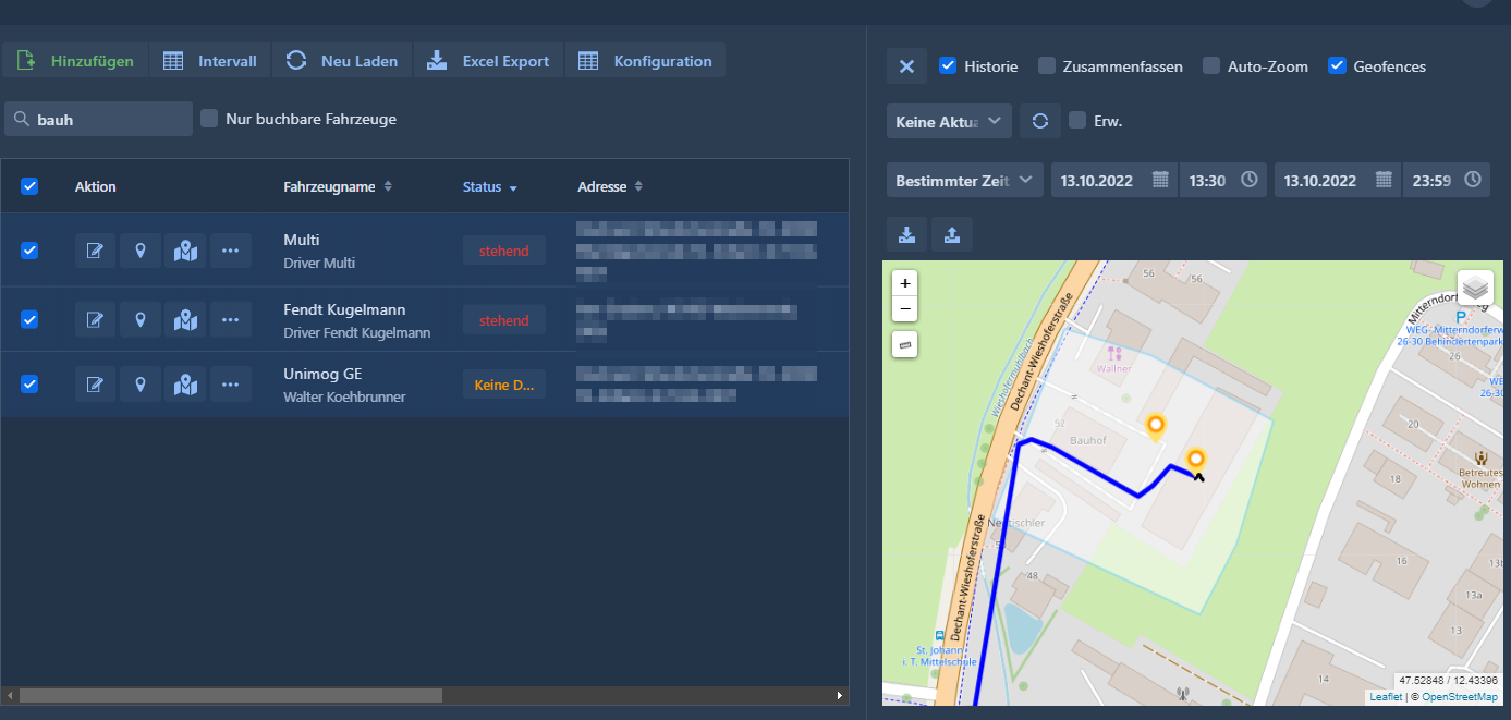
Draw and show geofence areas in the map:
View, draw and edit geofence polygone areas directly in the map
Import / export the most important customer locations, branches or construction sites
Get instant alerts in case of entering or leaving of hotspots (based on timings, assigned to assets or groups, via email, sms or alert-call)